The use of satellites has proved to be a fundamental tool for Earth and Ocean observation, providing important information to the most diverse sectors and domains, from the academic to the commercial sector. Space-Ocean-Earth interactions represent one of the major focuses of the space sector, with the aim of supporting the resolution of today's most challenging issues, namely, climate change.
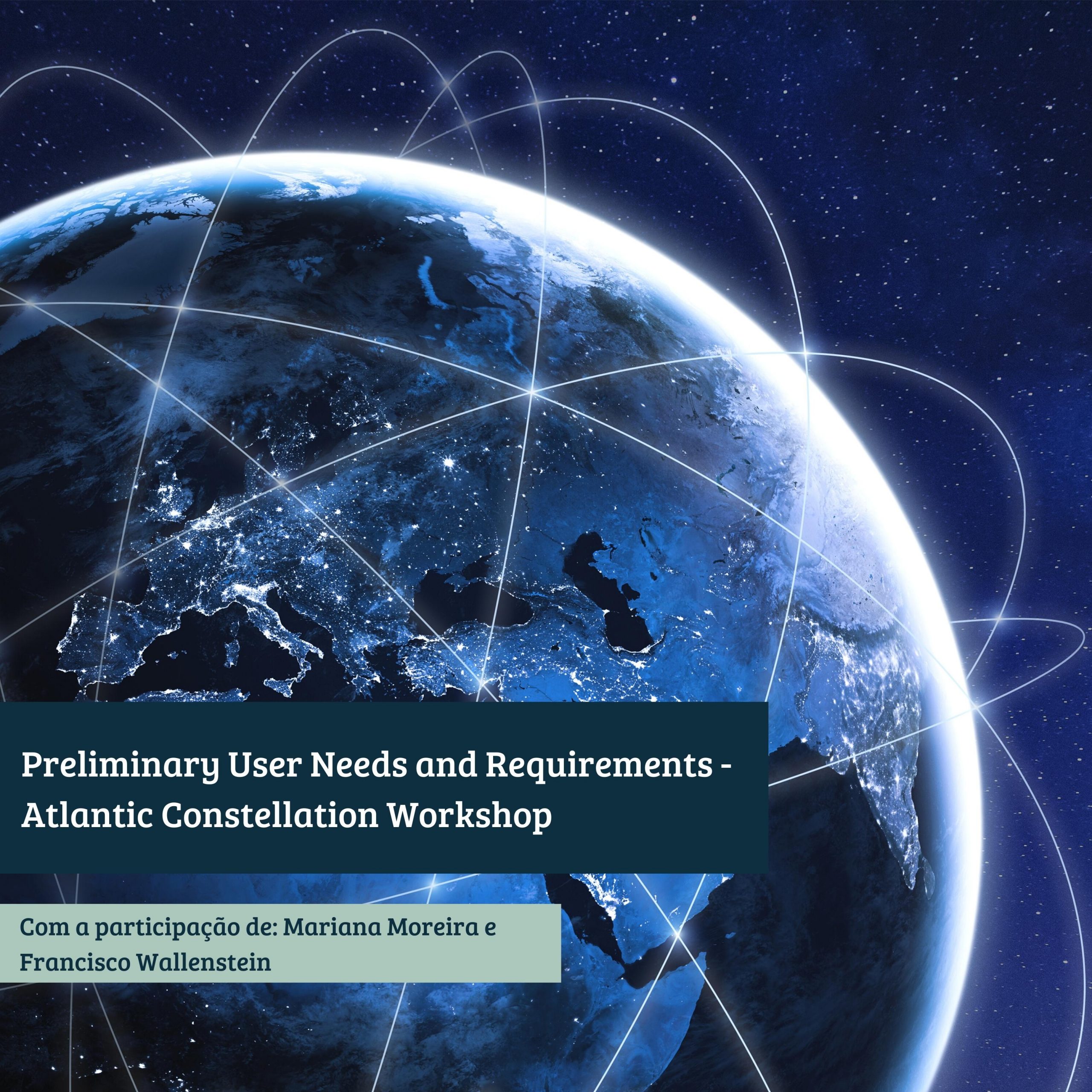
The purpose of this workshop was based on meeting possible users of a constellation of small satellites (CubeSats) called “Atlantic Constellation”, which suggests providing important measurements with a high frequency, allowing the development of innovative applications in the aforementioned interactions, Space- Ocean-Earth.
At this conference, Mariana Moreira and Francisco Wallenstein contributed with the suggestion of installing three sensors in one of the satellites of the Atlantic constellation. The main driver of the proposal was based on the need of the geodesic scientific community to achieve increasingly high precision results. Such demanding requirements force all spatial geodetic techniques, namely VLBI (Very Long Baseline Interferometry), GNSS (Global Navigation Satellite System), and SLR (Satellite Laser Ranging), to be improved. One way to achieve this improvement is through the so-called “space-ties”, which, as the name implies, establish links between the main techniques through the positioning of sensors of each specific technique on a single space platform, i.e., on a single satellite.
Along with the various suggestions made by different potential users and partners, the constellation has now moved to a more advanced stage of its planning.